- 333 Posts
- 35 Comments

 2·2 days ago
And in today’s episode of pareidolia…
It’s amazing how our brains are pre-tuned to recognize certain shapes in everything we see :)
I’m not a geologist, but as far as I can recall, I’ve not seen any studies from the rovers that have identified folding. Sedimentary rocks have been observed, were laid down in water, streams rivers, river deltas and and lake beds. In addition they have examined sandstone deposits that laid down in dryer times.
MSL team member used to maintain a great list of papers, but it’s not been updated for a while (budget cuts) You’ll find lots of them on the following link
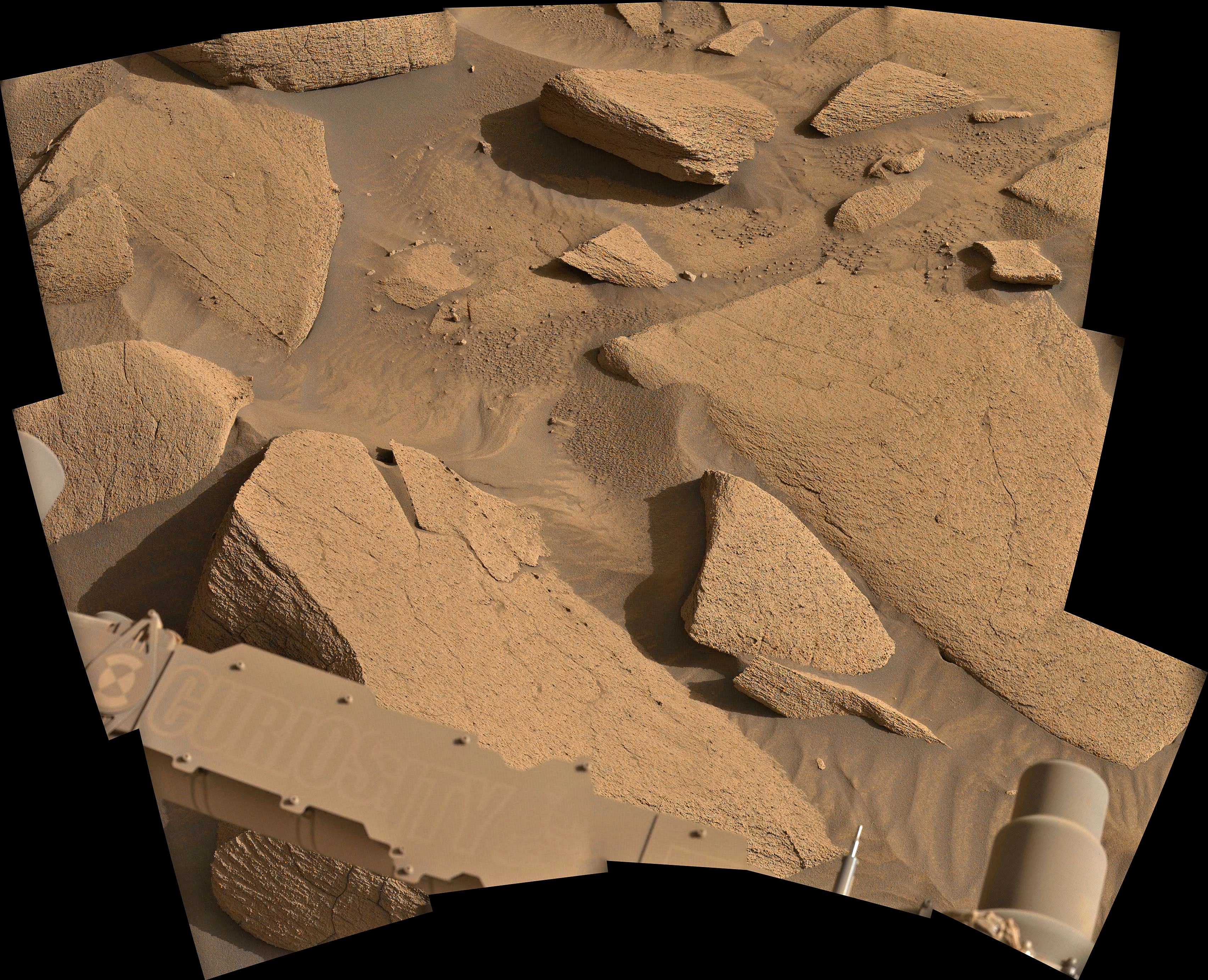
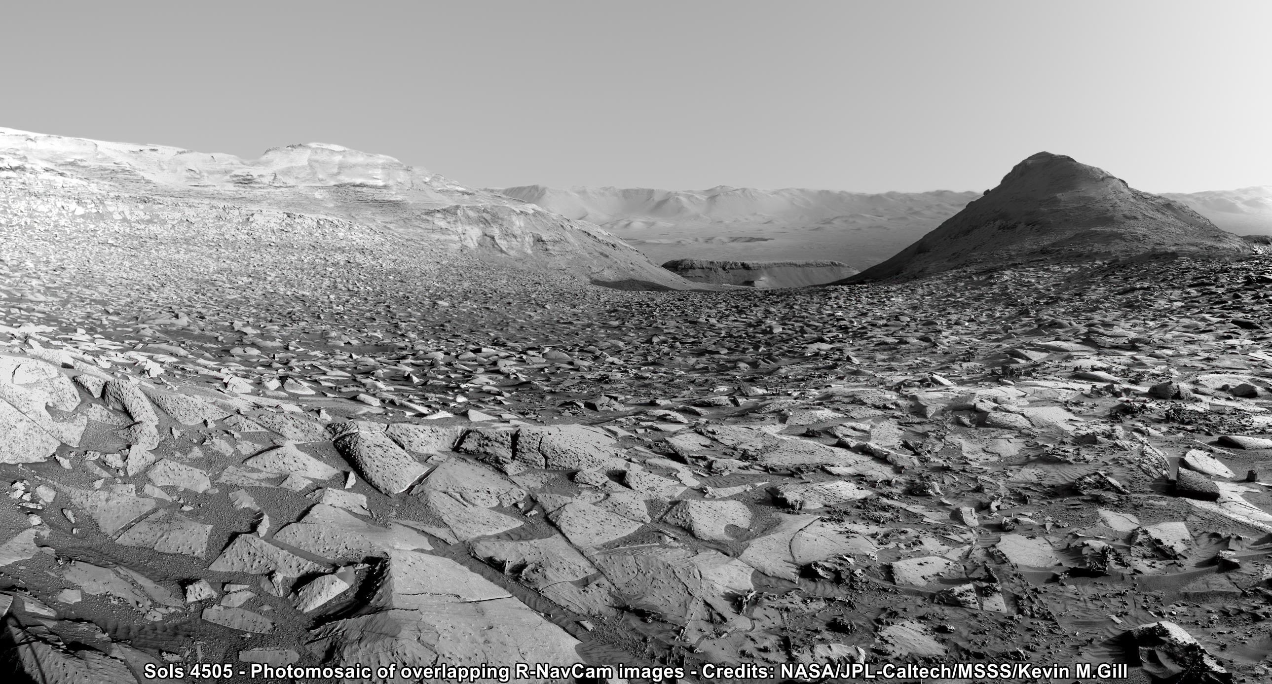
That’s some beautiful crossbedding.
Lots of lovely bedding in this region
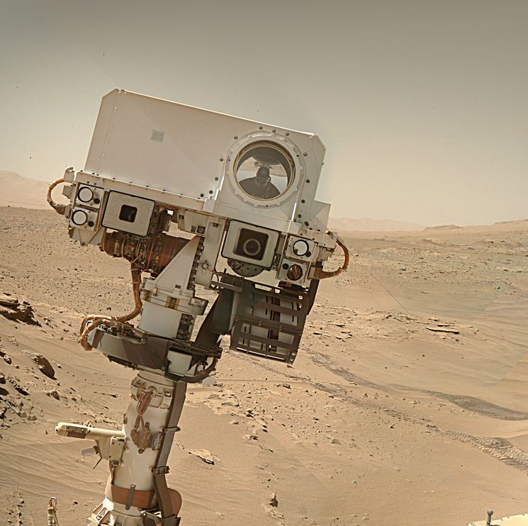
MAHLI camera on the robotic arm earlier in the mission


The MAHLI camera can be pointed in many directions as it’s mounted on the turret at the end of the rover’s robotic arm. In this case it’s pointing pretty much straight down. Here’s a NavCam image of the robotic arm that was acquired when the MAHLI image was captured.
 2·4 days ago
And they just bumped up to a new workspace… (1078) :) Arm work to follow :)
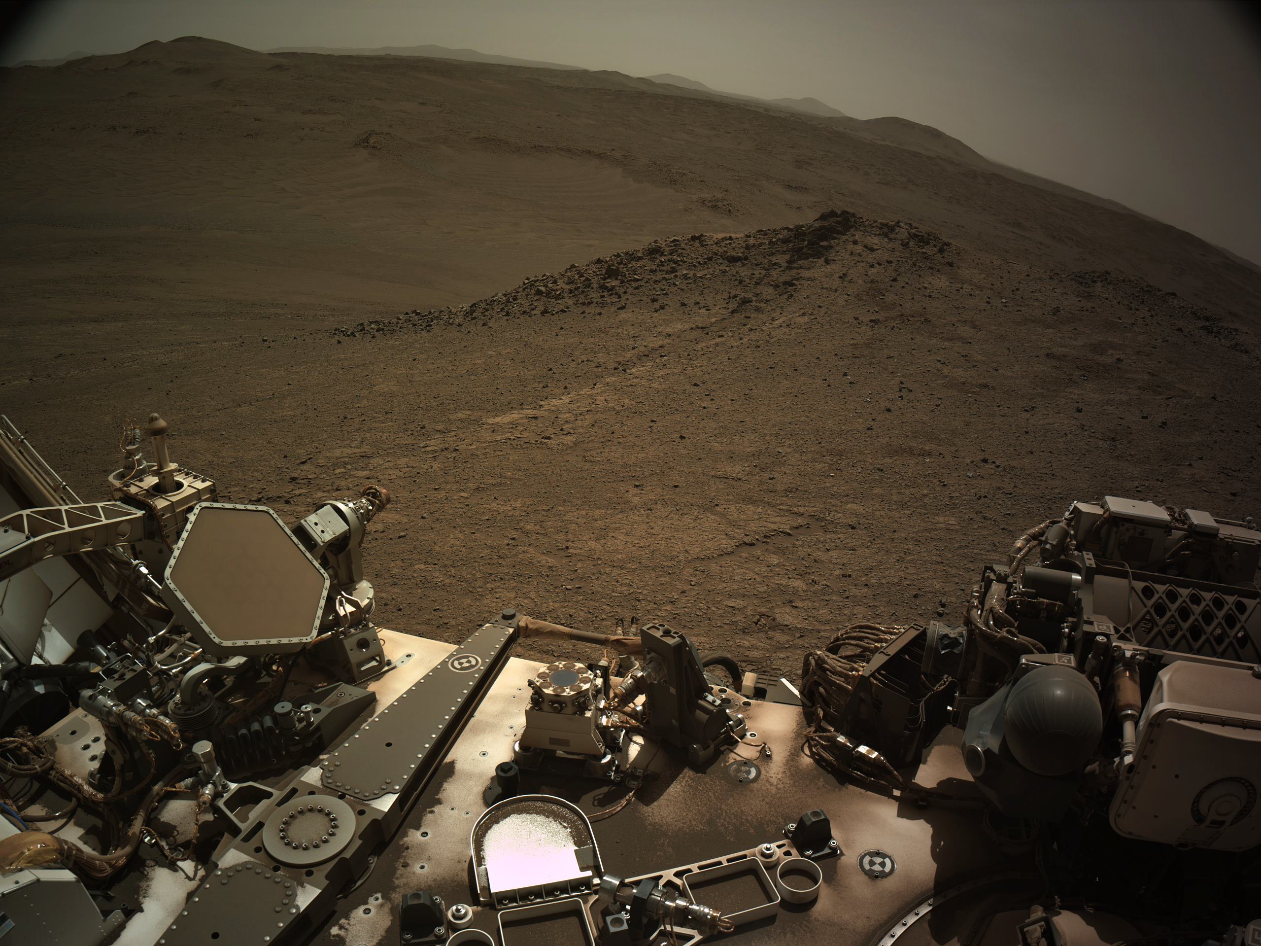
Map : Headed back to a region previously explored

What is up with the colour
I’m assuming you’re referring to the overall image quality?
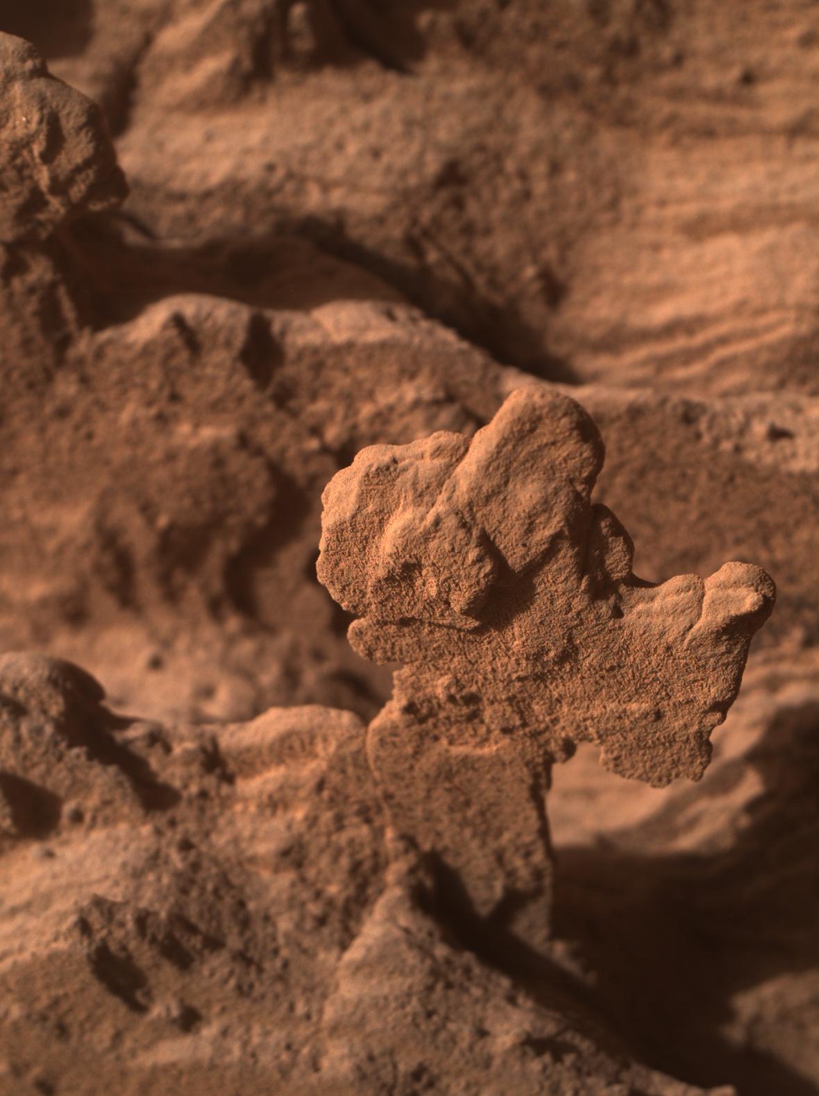
If so it’s a raw image (calibrated) Here’s an earlier image of an abrasion bit inspection that has been calibrated by the MastCam-Z team (Sol 1447)

It is an imprint of the abrasion tool that grinds away the weathered surface of rocks so the chemistry of the rock can be measured with the rovers instruments

I had no idea you could send DM’s here :) But sure go head, I’ll help in anyway you can.
YMW :)
https://lemmy.world/u/[email protected]
It’s on the side of a butte to the north of the rover, see attached screen shot assembled from the navigation camera images acquired on the same sol, I’ve circled the target rock

You can find a lot more of Kevin’s fantastic processing on Flickr

Drive data

Here you go… It’s a link to his Google Drive. In the folder you’ll find a PDF that requires a minor update as it still points to UMSF (now defunked) but Fernando is waiting for UMSF to be resurrected that process is in work, and once done he’ll update the PDF user manual. The KMZ file in the folder is the one you open to update the map on Google Earth. The current version reflects the rover’s current location. The folder also contains the high resolution map tiles to install inside Google Earth.
https://drive.google.com/drive/folders/1OJHhlAIftz_fh-CcJsG33JAOalrEHBbQ?usp=drive_link
Sorted - I’ll gather the download links etc and send them in the next day or so :)
If you don’t already have it installed, get yourself the pro version of Google Earth installed (it’s free)
From what I hear from insiders it’s not a pretty picture. Staff cuts have had a huge impact on the Mars missions, it’s surprising some outreach functions are still working. The MSL raw image server is very fragile recently and goes down on a frequent basis. I have nothing but praise for those remaining staff for doing their best for holding what’s left together. The redesign of the mission pages was a disaster, but there’s no going back on that by the looks of things. I’m expecting what’s left to deteriorate further if additional cuts are made. Watch this space